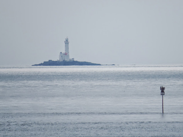
Rosslare Sea Buoys
The shallows and barely submerged rocks are quite treacherous off Rosslare. Coming out of Rosslare, two parallel rows of red and green buoys mark the route past the Tuskar Light that the large ferries need to follow, whether heading east across to Wales or south to France.
The one marker I was hoping to find was Splaugh ATON (Aid to Navigation) which is a new addition to the CIL charts. I quote -
The Splaugh Buoy (@IrishLightsBuoy) is a Type 2 Port Laternal Marker (the second buoy type in the Commissioners of Irish Lights inventory) which has been deployed off the coast near Rosslare. The buoy is fitted with a variety of meteorological and oceanographic sensors which will be tweeting data automatically via the automatic identification system (AIS) , giving a unique insight into weather conditions in the area
Now, I'm not sure what Mr. Splaugh looks like. Judging by the icon on the CIL chart, it could be the laddo above, or maybe the buoyo in the bottom picture. Both the buoys have birds on them, so that might be where the tweeting is coming from. The point is, all the people who might have known were up front in the luxury control room. I tried asking the girl who was filling up the chip pan in the cafeteria but she looked at me blankly.
Not sure what this fellow marks - rocks, shoals, a wreck?


.jpg)
Comments
Post a Comment