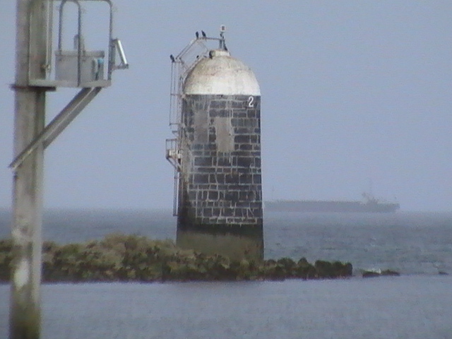
This is the Lightship Gannet, photo not by me. It was built in 1954 in Dartmouth and until the end of 2009 it stood off South Rock lighthouse in the Irish Sea off the county Down coast (bet the writing on the side gave it away!).
It has since been purchased by So long and thanks for all the fish, which, I suspect is not his real name. The lightship is now situated in the Medway where it is being converted.
Mr SLATFATF originally intended to buy a barge and convert it but decided that it would be much less work to buy a lightship. If you want to see what "much less work" looks like, there is a blog dedicated to its conversion. I wonder if there was a "much much less work" option?
A blog about Irish Lighthouses past and present and other selected maritime beacons and buoys of interest. If anybody has any corrections or additional info on any post, please use the comment section or the email address on the right.
Thursday, June 30, 2011
Saturday, June 18, 2011
Ballycurrin Lighthouse
Probably one of my favourite lighthouses, it is claimed that this is the only inland lighthouse of its type in Europe, though I don't know what 'of its type' means. It is situated on Lough Corrib, Ireland's second largest lake and was apparently built by Sir Henry Lynch, who needed a marker to get his provisions off the Galway to Cong ferry. The roof is apparently made from a mill wheel though it was raining when I visited and I felt I didn't want to risk scrambling over the wet stones to get onto it.
To find it (and I can't quite figure out the geography even though my sense of direction has always been pretty good) travel from Galway to Headford on the N84. At the green petrol station cum supermarket on the left hand side in the centre of the town, turn left on the road marked R334 to Cong.
This is where I get confused. Lough Corrib should naturally be on your left hand side. However, about three miles along the road, there is a small brown sign marked Ballycurrin Lighthouse pointing to the right. This is the only sign you will see. Take it and kind of follow the road as best you can. How this road ends on the lake, I have no idea!
On a bend you will see what looks like a private road marked for Ballycurrin House. Take it, its not far. When the grass grows thick in the middle of the road, you're there.
Mutton Island, Galway
Built in 1817, this light served Galway harbour for 160 years until replaced by Leverets and left to rot. There have thankfully been recent efforts to restore it to its former glory, (it appears to be freshly painted) though it now shares the ile de mouton with a sewage treatment plant.
To reach it, you need to go to Claddagh. Heading west out of the city centre from Spanish Arch take the turn to the left on the far side of the river. When you hit Grattan Road, you should see the light. There is onroad pay and display parking. The causeway is actually much longer than you think and stay on the Galway city side of it if you want to avoid a drenching!
Galway Harbour (Leverets)
Probably the newest lighthouse in Ireland, this only went up in 1977 to replace Mutton Island. It sits in the middle of Galway Bay guiding boats into the harbour. This photo was taken from the causeway leading out to Mutton Island (killing two lighthouses with the one Fresnel lens) which looks as though it maybe the nearest vantage point.
The Tower of Lloyd
Isn't this a spectacular lighthouse? This giant Doric column was built in 1791 by skilled masons out of limestone. There's only one problem - its over 25 miles from the sea!
It is actually a faux lighthouse, built for the First Earl of Bective on top of a hill to the northwest of Kells so he could watch the hunt and horse racing on the plains of Meath. It is probable Queen Maedbh camped here on her way to capture the Tain of Cooley.
To find it, you need to get to the centre of Kells, to the big junction at the top of the hill. Take the N52 towards Mullingar but almost immediately turn right onto the road signposted for Oldcastle. Pass the round Celtic tower and carry on until you're out of town. Then watch out for the Peoples Park in 300 yards sign and take it when it comes up, though you'll have seen the tower a long way off.
Dundalk Light
Like a big spider sitting in the middle of Dundalk bay, this is one of only three screwpile lighthouses in Ireland, the others being at Spit Bank and at Moville. It was built by Alexander Mitchell in 1855.
This one is by far the furthest from the shore, hence the hazy picture. In fact, according to the road map, it looked as though it should be visible from Blackrock, near Dundalk but though I parked up on the front, I couldn't see it at all. It was only after driving around and onto the Cooley peninsular that it came into view. Actually, I probably stopped a bit early (where the road skirts the sea and is joined by the R174.) I think I should have carried on up to Giles Quay - it might have been a bit nearer.
Aleria (Drogheda) Lighthouse
Three years ago, I made a trip up to Drogheda to see the four lights at the mouth of the Boyne. Three of them are south side of the estuary and the other, Aleria, is on the north side. I managed to get the south side ones polished off but found the one on the north side too difficult to locate. See here.
Recently though I revisited the problem and viewed the lighthouse on Google Earth. Hmm! I thought. Looks like you'd get a much better view from the south side of the estuary. So I drove to the village of Mornington in co. Meath and just where the road bends at a right angle, I took the small road that leads down past the Range Rear and Range Front lights and parked in the little car park beyond. Fifty yards further on and there's a perfect view of Aleria, sitting at the end of her breakwater.
Built in 1936.